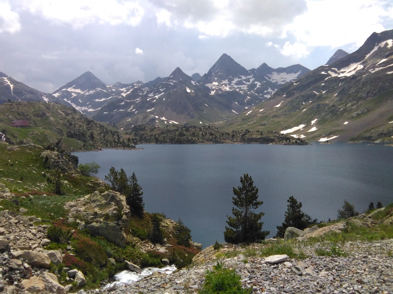


“Horn” is the name Germans use to call their unique mountain peaks in the Alps, most famously the Materhorn. The glacier activity has sculpted over the millenniums these peculiar rock formations which can also be found in the Pyrenees. We have therefore established a circular trekking route which will take us around the most important “horns” in the central Pyrenees. Depending on weather conditions and physical condition of the group, we will attempt to climb some of these Pyrenees horns.
We shall set off from the Tena valley in the center of the Pyrenees and follow the course of the river Gallego to access these Pyrenees “horns”. They are located on the very borders of Spain and France, which will offer us a chance to enjoy the food and culture of these two countries which consider the Pyrenees their common heritage.
Pyrenees (France, Spain)
Lodging 4 nigths in mountain huts (common rooms) and one nigth in a hotel in Sallent.
Breaksfast and dinner in the hut.
Mountain guide AEGM and Uimla acreditation.
Common first aid kit.
Accidents and public liability insurances.
Transfer to Sallent.
First nigth in Sallent.
Lunches.
Drinks.
Dinners in Sallent.
Any other aspect no specifically included.
- Large-size backpack.
- Comfortable long trekking trousers, preferably waterproof.
- Well-worn confortable mountain boots.
- Long-sleeve vest.
- T-shirt
- Waterproof raincoat (goretex type)
- Polar fleece 200 300
- Cap, knitted ski-cap, gloves, sunglasses
- Canteen
- Sun cream
- Headlamp
- Toilet bag
- Underclothes
- Thermal blanket
- Trekking sticks
- Any other thing necessary
Appropiate mountain kit for each season
Good physical condition to withstand and 8 hour hike and a climb of 1200m (from 800m to 2000m altitude)
Follow suggestions and orders from the guides at all times
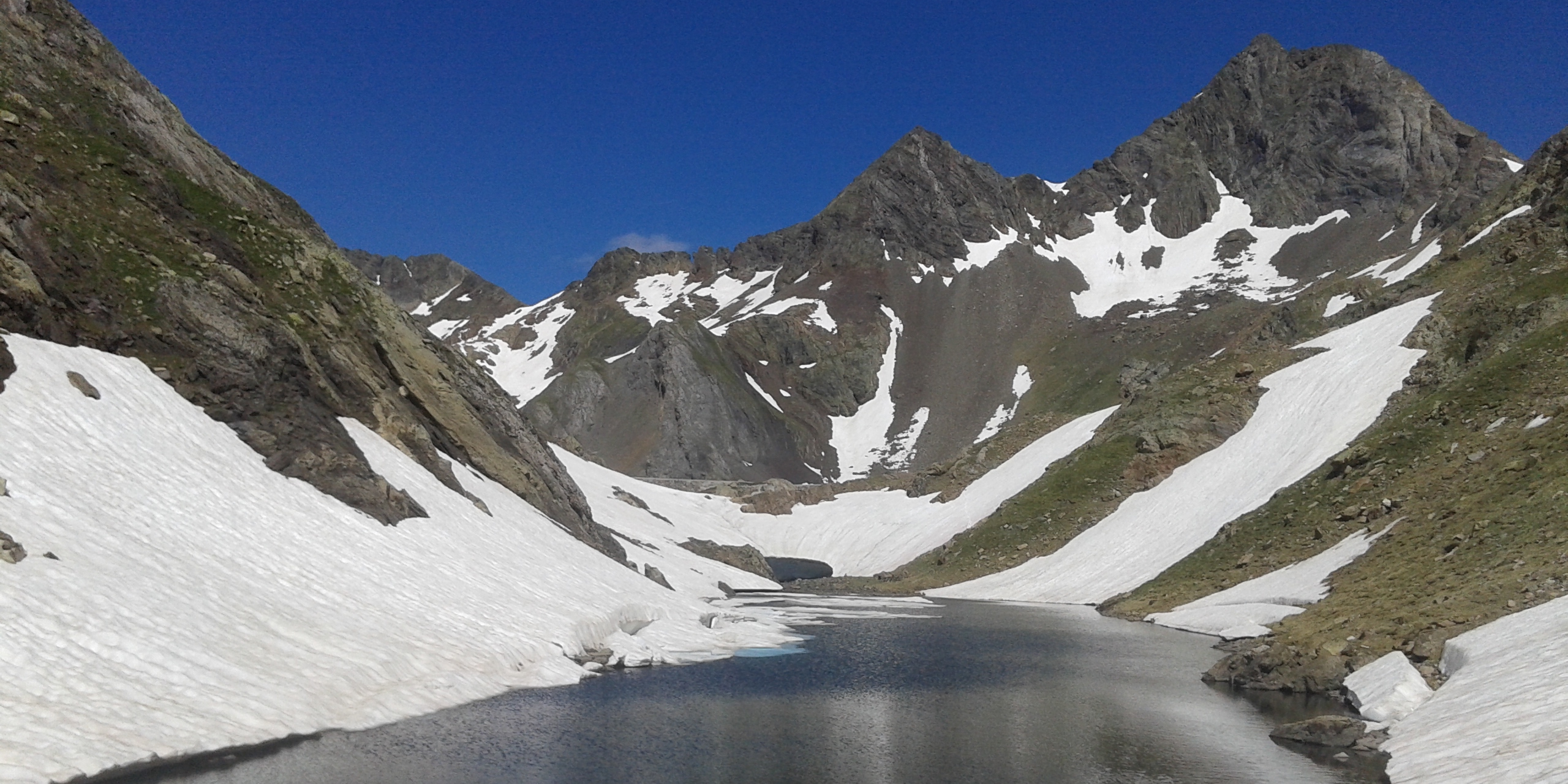
1) Embalse de la Sarra-Refugio de Arremoulit.
Distance: 10 km. Heigth difference +: 1360 m. Heigth difference -: 543m. Timetable: 7 hours.
2) Refugio de Arremoulit-Refugio de Respumoso (included climbing Musales peak).
Distance: 14 km. Heigth difference +1116 m. Heigth difference -: 1234m. Timetable: 7 hours 30’
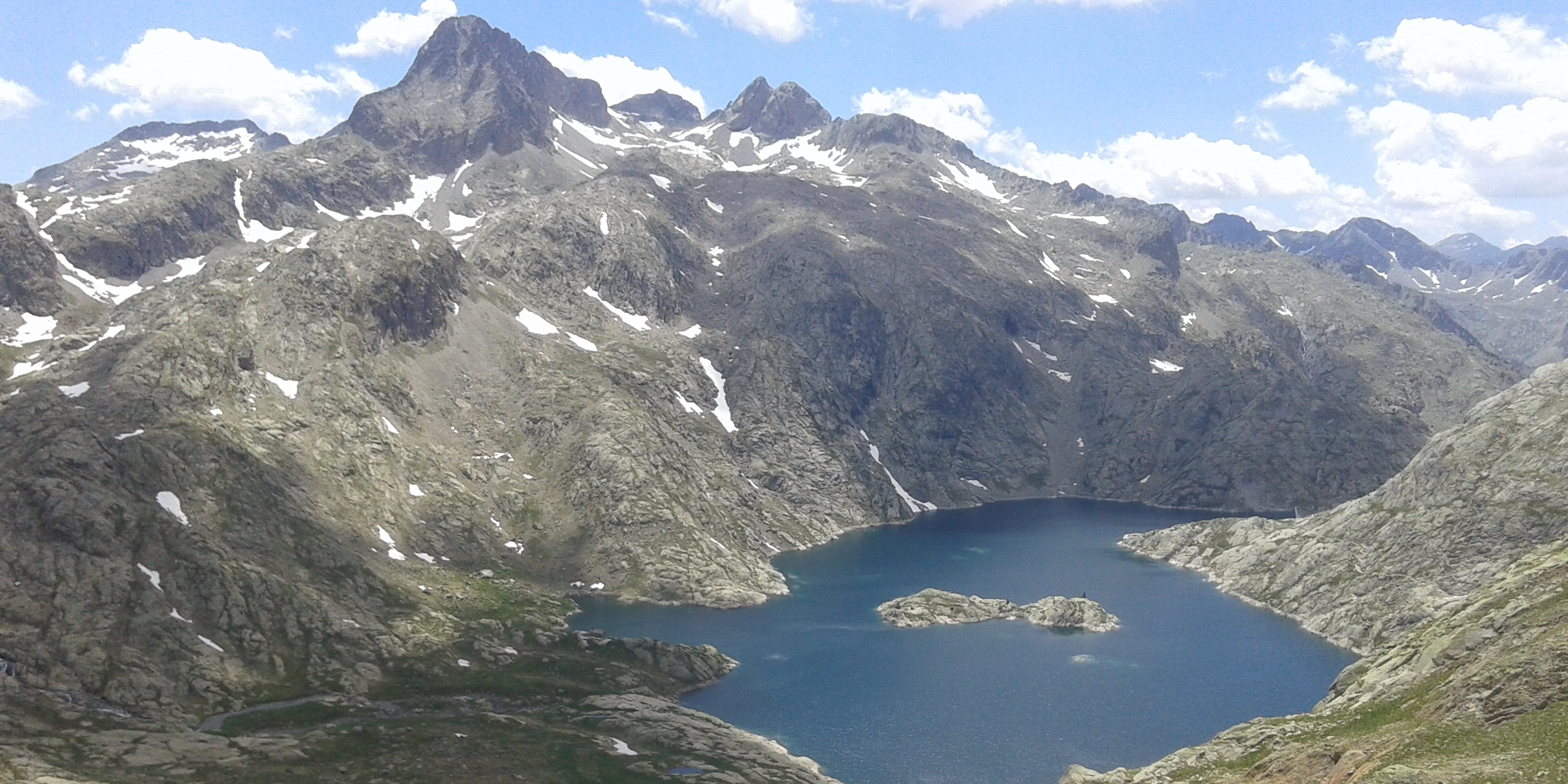
3) Refugio de Respumoso-Refugio de Marcadou (included climbing la Gran Facha peak).
Distance: 12km. Heigth level +: 1060 m. Heigth level -: 1353m. Timetable: 7 hours30’
4) Refugio de Marcadou-Refugio de Bachimaña (included climbing La Muga Peaks)
Distance: 8 km. Heigth level +:950 m. Heigth level -: 500m. Timetable: 5 hours 30’
5) Refugio de Bachimaña-Embalse de la Sarra.
Distance: 17 km. Heigth difference +: 850m. Heigth difference -: 1580m. Timetable: 8 hours 30’
Once in La Sarra, we will go to lodge in Sallent